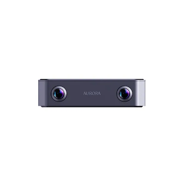
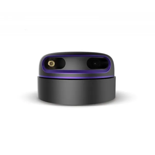
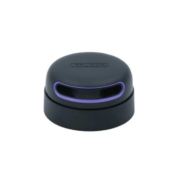
SLAMTEC Aurora – 3D Localization and Mapping Sensor

SLAMTEC Aurora – 3D Localization and Mapping Sensor

SLAMTEC Aurora – 3D Localization and Mapping Sensor
Slamtec | A-000000-07702
€936.00 VAT incl. €780.00 VAT excl.

SLAMTEC Aurora is an all-in-one 3D sensor that delivers precise localization and autonomous mapping through the fusion of LiDAR, vision, and IMU technologies.

Quantity
In backorder
This product is on backorder. You can place an order on our website or send us a purchase order in PDF format
Contact us to know the delivery times

Create a cart and turn it into a quote instantly!
Payment methods (see T&C)
Debit card
PayPal
Payment by invoice
Wire transfer

All-in-One 3D Sensor for Accurate Localization and Large-Scale Mapping

Built on over a decade of technological expertise, SLAMTEC Aurora combines 2D LiDAR, binocular vision, 6DOF IMU, and deep learning in a compact, ready-to-use module. This innovative sensor enables precise 3D mapping and omnidirectional positioning indoors and outdoors, with no external dependencies.

Integrated Technologies

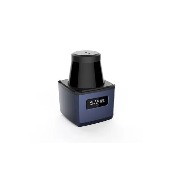
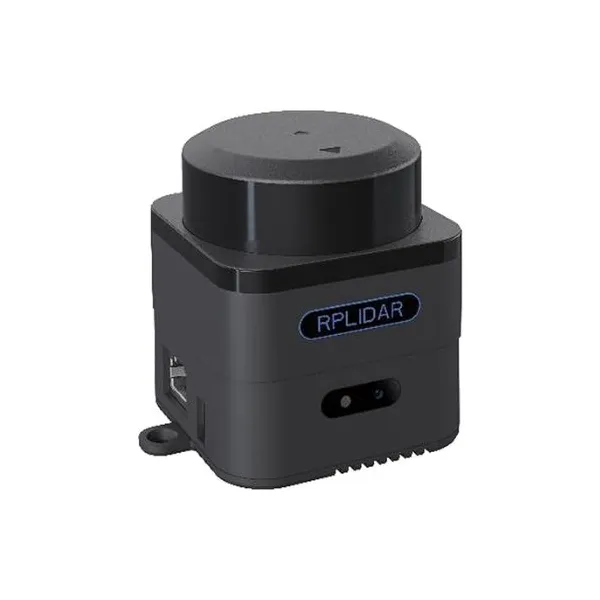
  • High-precision 2D LiDAR
  • Binocular stereo vision
  • 6DOF IMU (Inertial Measurement Unit)
  • AI processor for deep learning

Key Features

  • Omnidirectional 3D localization – ready to use, no calibration needed
  • Millimeter-level resolution, centimeter-level positioning accuracy
  • Large-scale mapping capability > 1,000,000 m²
  • Compact form factor: palm-sized, only 500g
  • Performs in darkness and at high speeds
  • High-precision 2D map output synchronized with SLAM
  • Expandable: supports GPS/RTK, odometry, etc.

Easy and Fast Integration

Aurora is designed for seamless integration into robotic platforms: no external dependencies, compact design, and exceptional performance in complex environments. It also enables fast migration from 2D navigation algorithms to 3D intelligent systems.

Typical Applications

  • Humanoid robots
  • Low-speed autonomous vehicles
  • Robotic lawn mowers
  • Environmental mapping
  • High-precision GPS-free localization
  • Construction and engineering robotics

SLAMTEC Aurora Technical Specifications

  • 2D map resolution: 2 cm / 5 cm / 10 cm (selectable)
  • Max mapping area: > 1,000,000 m²
  • Global relocation: supported
  • Map continuation: supported
  • Map saving/loading: supported
  • Mapping and positioning mode: multi-source fusion (LiDAR, vision, IMU)
  • Sensor synchronization: hardware time synchronization
  • LiDAR range: up to 40 m
  • Cameras: HDR fisheye binocular, 180° FOV, 6 cm baseline
  • Camera frame rate: 10 Hz typical (customizable to 15/30 Hz)
  • Max tilt angle: no requirement (for optimal 2D mapping, < 30° recommended)

SLAMTEC Aurora Resources

Historia cen

Historia średnich cen

Jeden punkt danych na dzień, uśredniony według daty pomiaru.

Średnia cena dzienna

Kwoty w USD

$1047,95
Wykres historii średnich cen w USDWykres liniowy przedstawiający 6 pomiarów od 2 paź 2026 do 7 paź 2026.$1047,98$1047,97$1047,96$1047,95$1047,942 paź3 paź4 paź5 paź7 paź2 paź 2026: średnio $1047,953 paź 2026: średnio $1047,954 paź 2026: średnio $1047,955 paź 2026: średnio $1047,956 paź 2026: średnio $1047,957 paź 2026: średnio $1047,95

Średnie obliczane są dla każdej doby UTC na podstawie wszystkich zarejestrowanych cen ofert.