


Including €0.05 for ecotax
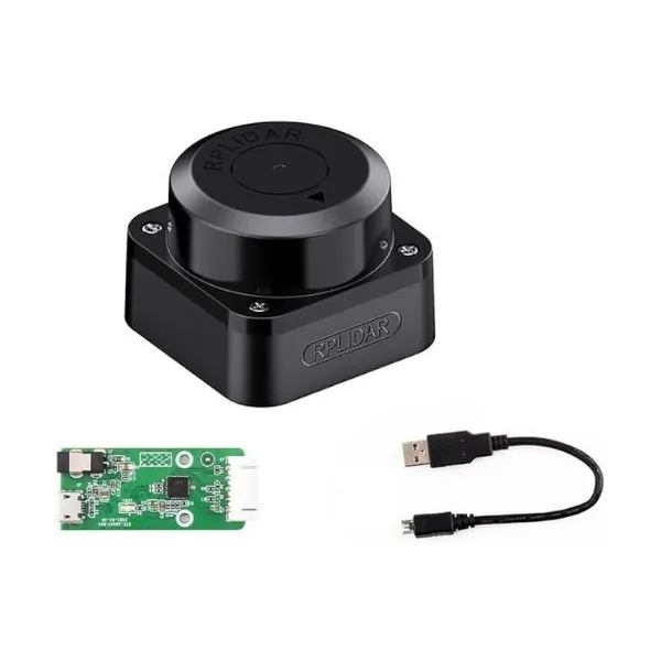
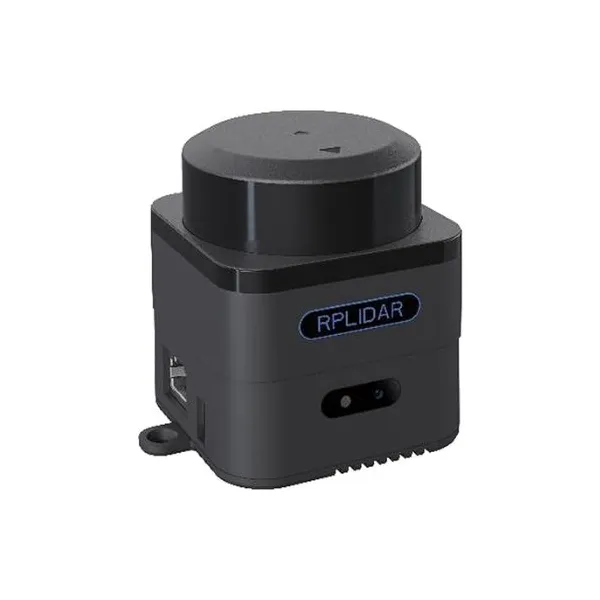
Small, accurate, low cost and fast, the 2D 360° RPLIDAR A1M8 laser scanner can perform about everything you can imagine, from 3D mapping to obstacle detection.
The RPLIDAR A1M8 laser scanner is a 360° rotary 2D LiDAR system capable of measuring distances up to 12 metres. Based on laser triangulation technology, it provides distance and angle data for detected objects, making it suitable for mapping, localisation and autonomous navigation applications.
The RPLIDAR A1M8 works effectively in indoor environments and outdoor environments without direct sunlight exposure. Its rotating core performs continuous 360° omnidirectional laser scanning in a clockwise direction, generating 2D point cloud data that can be used to represent the surrounding environment.
Compact and cost-effective, the RPLIDAR A1M8 uses a low-power infrared laser with a maximum peak power of 5 mW. It offers a high sampling frequency of at least 8000 Hz and a configurable scan rate of up to 10 Hz. It is therefore well suited for surveillance, mapping, obstacle avoidance, autonomous navigation and robotic localisation projects.
Compact and economical, this 2D laser scanner can be fitted on a mobile robot already equipped with autonomous navigation solutions (IMU, sensors, etc.). It can be used on research robots, service robots, educational robots or SLAM development platforms.
The RPLIDAR A1M8 can also be integrated into a detection, surveillance or 2D mapping system. It is suitable for autonomous navigation, obstacle avoidance, environment modelling and real-time localisation applications.
Find below the useful resources to install, test and integrate your RPLIDAR A1M8 scanner into your robotics projects.
가격 변동 내역
관측 날짜별로 평균한 일일 데이터 포인트 하나를 표시합니다.
USD 기준 금액
기록된 모든 상품 가격을 협정 세계시 기준 날짜별로 평균합니다.

Slamtec
£88.58
Slamtec
81.12 €
Slamtec
584.40 €
Slamtec
405.60 €
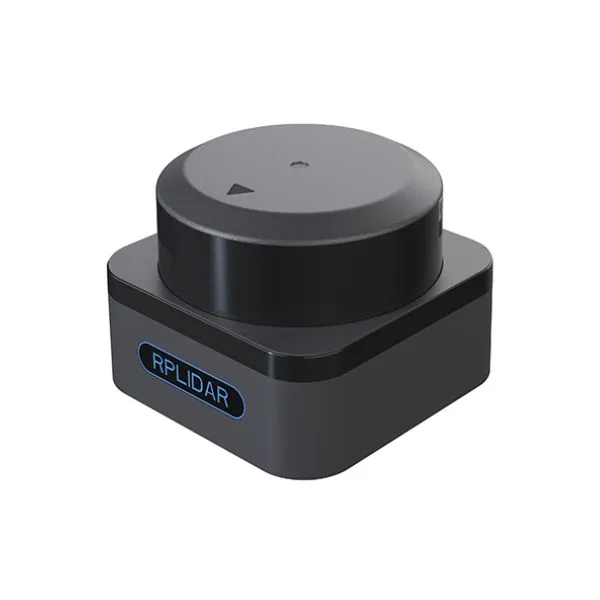
Slamtec
606 €
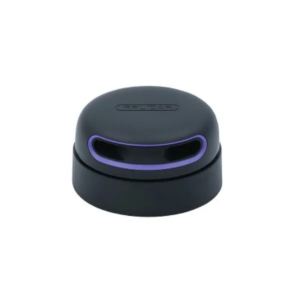
Slamtec
258.34 €
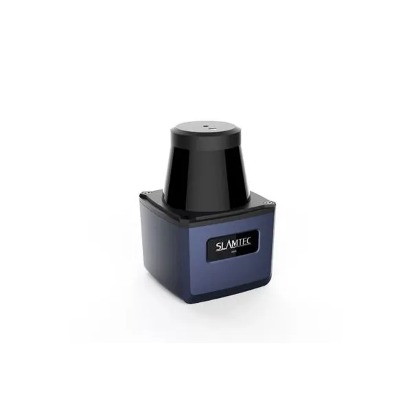
Slamtec
755.04 €
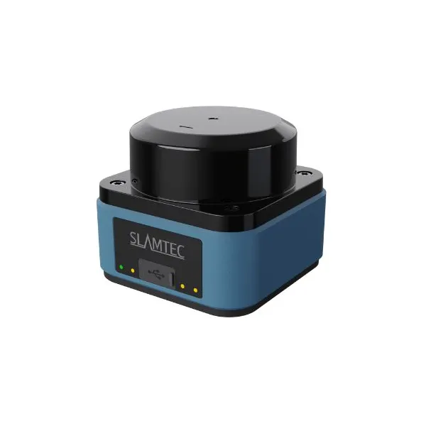
Slamtec
480 €
Slamtec
720 €

Slamtec
936 €
Slamtec
888 €

Slamtec
£512.25
🍪 쿠키 설정
성능 측정을 위해 쿠키를 사용합니다. 개인정보 처리방침